


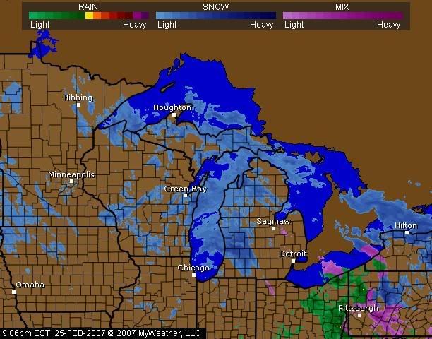
The current NWS alert lists the following:
WINTER STORM WARNING REMAINS IN EFFECT UNTIL 7 AM EST MONDAY
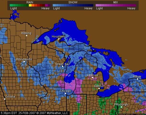
Urgent - Winter Weather Message National Weather Service Grand Rapids MI 1035 PM EST Sat Feb 24 2007
1145 - /O.Con.Kgrr.Ws.W.0005.070225t0600z - 070226t1200z/ Mason - Lake - Osceola - Clare - Oceana - Newaygo - Mecosta - Isabella - Muskegon - Montcalm - Gratiot - Ottawa - Kent - Ionia - Clinton - Including The Cities Of... Ludington... Baldwin... Reed City... Clare... Hart... Fremont... Big Rapids... Mount Pleasant... Muskegon... Greenville... Alma... Jenison... Grand Rapids... Ionia... St. Johns
... Winter Storm Warning Remains In Effect Until 7 AM EST Monday...
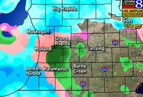
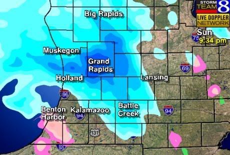
Update Sunday
They were quoting 8 inches of snow overnight, but we only have seen two to three inches of heavy wet snow. The day has alternated between snow and sleet (ice chunks) with the current snowflakes a couple inches across. Now it looks like it will be an interesting night.
 |  |
 |  |
No comments:
Post a Comment